EROS Plays Part in USGS Outreach to Native American Students
SIPI students benefit from webinar series Published August 09, 2021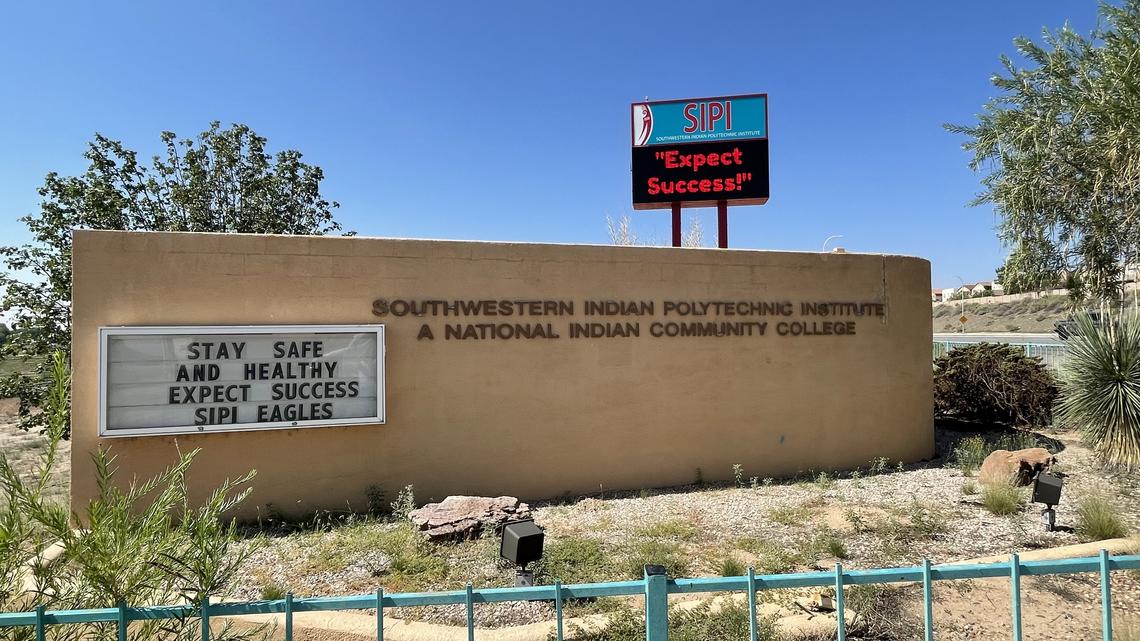
Originally posted on USGS EROS
You might not think a pandemic would be the ideal time to connect college students with scientists touting career opportunities at the U.S. Geological Survey (USGS). You also might not think the USGS would consider it a win if those same students later felt inspired to do similar work closer to home.
However, you might change your impression if you knew about the USGS-led webinar series for the Southwestern Indian Polytechnic Institute (SIPI) in Albuquerque, NM, which just finished its second summer of presentations.
The series involves USGS scientists describing research projects with relevance to Native American tribes. This year focused on remote sensing, so presentations ranged from using drones to map sockeye salmon spawning grounds to using satellite data to manage natural resources on the San Carlos Apache Indian Reservation.
Students attending the 2021 sessions also got an introduction to the USGS Earth Resources Observation and Science (EROS) Center during a presentation about using high-performance cloud computing and the lengthy Landsat archive to help map consumptive water use across the U.S.
The series aims to help SIPI students like Shaleene Chavarria once was—navigating an unfamiliar world of classes and internships as the first person in her Santa Clara Pueblo, NM, family to go to college. Feeling at home in the outdoors, and with memories of forest fires encroaching on her pueblo’s ancestral cliff dwellings and medicinal plants, Chavarria gravitated to a natural resources management degree—and then, unexpectedly, to the USGS and her own webinar presentation.
A Collaboration to Inspire Students
USGS Tribal Partnership Coordinator Monique Fordham worked to develop the webinar series with Dr. Dennis Dye, the coordinator for SIPI’s Geospatial Information Technology (GIT) Program. A collaboration seemed like a natural fit—Dye had worked previously as a USGS research scientist and welcomed the opportunity to build a relationship between the two organizations.
“One of the really major challenges that our student community has, coming often from very rural areas on reservations to the college, is that in many cases, they don’t even know what opportunities are open to them,” Dye said. “So part of our mission here, and certainly in my program, is to do our best to expose them to opportunities—things that they can set as goals for their careers, and things that we here at SIPI can provide a foundation for and launch them in that direction.”
Initially, Fordham had wanted to hold an in-person workshop conducted by Roy Sando, a remote sensing and geographic information system specialist at the USGS Wyoming-Montana Water Science Center. In a previous partnership with Salish Kootenai College on the Flathead Reservation in Montana, Sando taught geospatial workshops for several years.
Then the COVID-19 pandemic came up. “We pivoted, and it turns out it was a very good thing to do,” Fordham said.
“We could, with increased ease, bring scientists from all over the country into the classroom, essentially, to talk about all different types of science careers with the USGS,” she said. USGS human resources specialist Alicia Gomez also described how to search for Federal jobs.
Continue reading from original post by clicking here.